Tourist Map of Kanha |
 |
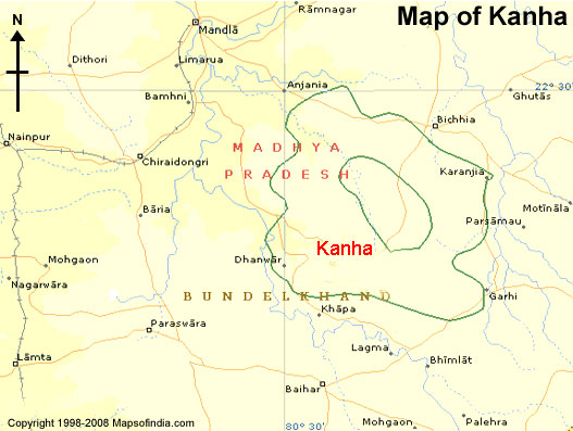
Kanha, located in the Indian state of Madhya Pradesh is famous for its National Park. This Park lies in the Mandla and Balaghat districts of the state and was established in the year 1955. This Park covers a total area of about 940 square km and was declared a protected tiger reserve in the year 1974. The Park has a diverse variety of flora and fauna which attract tourists and wildlife lovers from all over the world. The city has a good transportaion network and is easily accessible by air, road and rail. To cater the accommodation and dining needs of the tourists the city has a large number of hotels and lodges which offers a satisfactory stay in the city. We at Toursitplacesinindia.com provide you with complete Kanha Maps. These Maps of Kanha would definitely assist you to plan a tour through this National Park.